
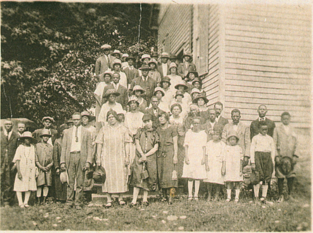
In 1860, free and enslaved African Americans made up half of Fauquier County’s entire population. Black communities like Morgantown, two miles south of Marshall and where Afro-American Historical Association of Fauquier County President Karen Hughes White and Board Member Angela Davidson were raised, grew out of emancipation. They held powerful meaning as community centers where African Americans could freely do what they could not when they were enslaved: worship, conduct commerce, obtain education, own land.
African American history
Update on St. Louis / Aldie
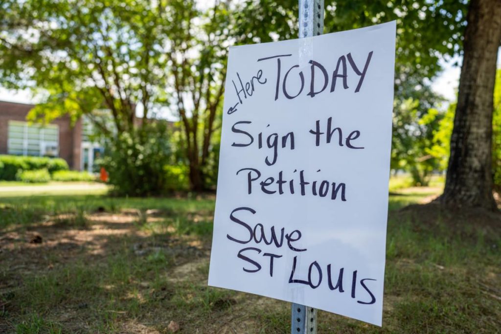
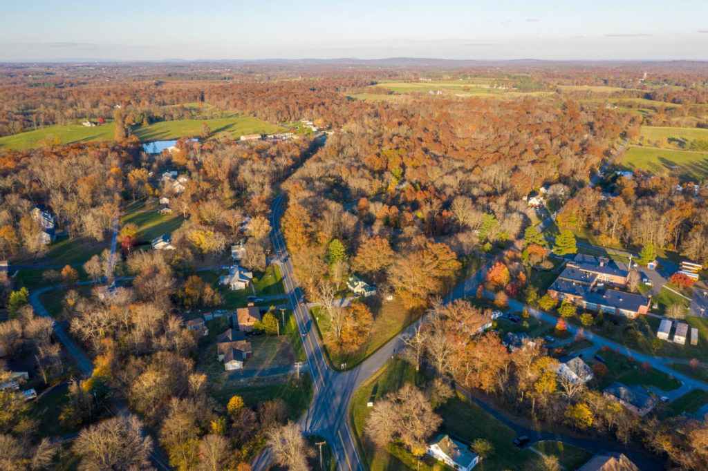
On Wednesday, June 9, the Loudoun Board of Supervisors held two important public hearings. The first was to listen to residents’ thoughts about how the county should address the Middleburg Preserve development and planning and zoning issues in St. Louis. The second was to review multiple offers from prospective buyers of the county-owned Aldie Assemblage property, which consists of three distinct parcels. The board previously decided to abandon plans to build a fire station there in the face of overwhelming public opposition.
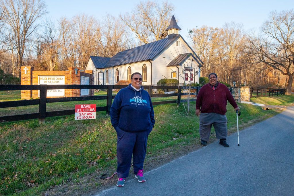
Development Pressure Squeezes St. Louis Residents and Water Supply
Loudoun County has an opportunity to protect the health, safety and welfare of St. Louis residents in two distinct ways…
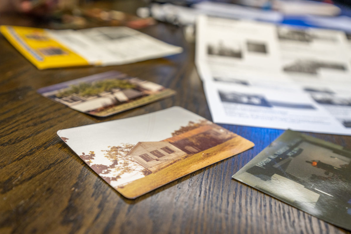
Story Map Project: Fauquier’s Historic African American Communities
The interactive story map, visible at www.aahafauquier.org/storymap, includes a map of Fauquier County with points locating African American schools, churches and communities. Visitors can click on each point to see a photo and read a short description. A “read more” cue takes visitors to an interactive webpage with additional history and photographs.
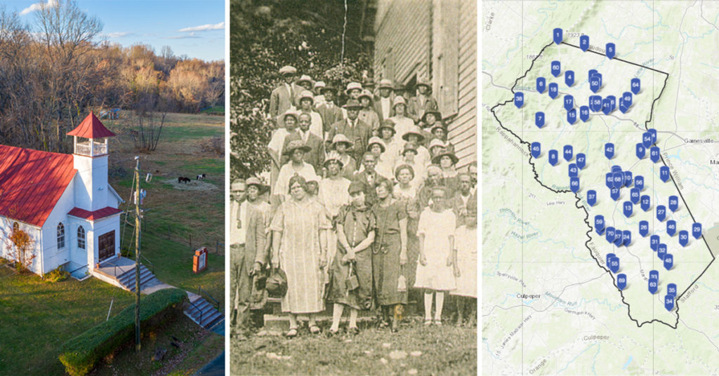
New Digital Story Map Shines A Light on Fauquier’s African American History
The Afro-American Historical Association of Fauquier County and The Piedmont Environmental Council are pleased to announce the launch of a new, interactive, online story map documenting the African American experience in Fauquier County. Created with funding support by The PATH Foundation, the story map will give people, perhaps for the first time in history, digital access to information about the history and contributions of Fauquier’s African American communities, schools and churches established before and after the Civil War.
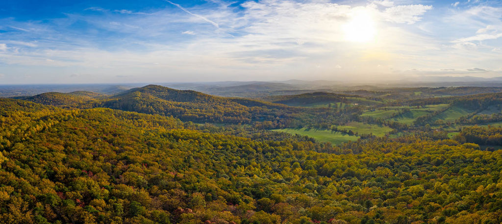
History at the Top of Bull Run Mountain
Stretching 15 miles from the village of Aldie in Loudoun County south to New Baltimore in Fauquier County, the Bull Run Mountains have stories to tell. The mountain range is home to 10 unique plant, forest and woodland ecosystems supporting uncommon and threatened plant and animal species. Its hills were the scene of the Battle at Thoroughfare Gap during the Civil War. The rocky ridges and quartzite cliffs on its western side, along with the shadow of its eastern toe and its hollows, are said to have once guided slaves fleeing bondage via the Underground Railroad.
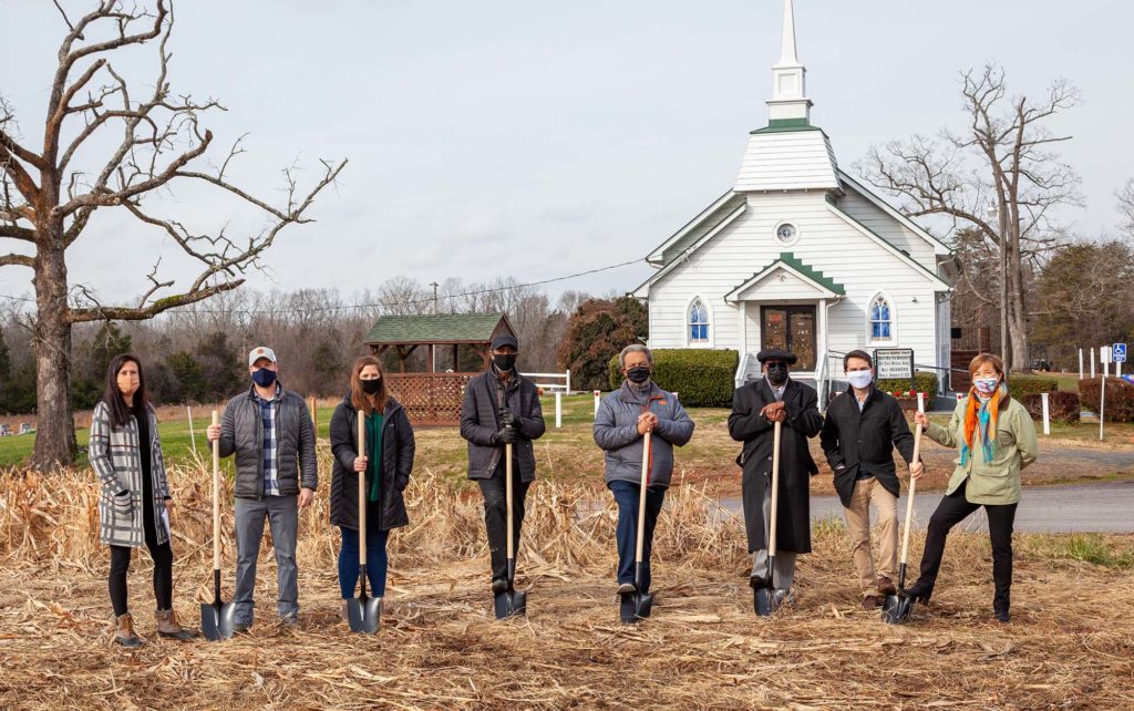
Historic Howard Property in St. Louis
This property was one of the earliest acquisitions of land in the present day village of St. Louis, having been purchased by members of the Howard Family (and related families), believed to be former slaves of William Seaton.
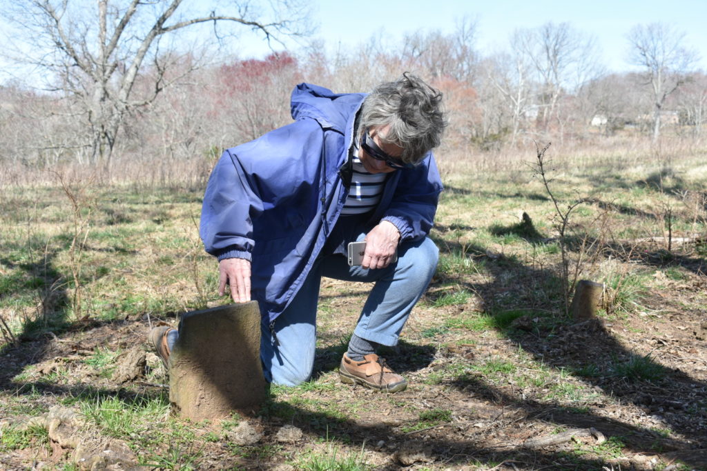
Against All Odds: Re-Discovering Walker Cobler and His Legacy
“…the presence of an African American cemetery here is uncovering a largely forgotten history that will change the way we think about the African American legacy in Madison County.”
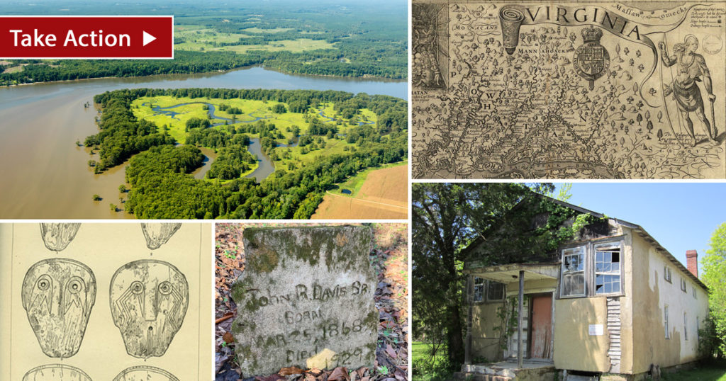
Action Alert: Righting a Wrong – Help Bring Untold Histories to Light
Preserving historic resources is crucial to understanding our nation’s history. However, historic resources related to African-American and indigenous communities are woefully underrepresented in Virginia’s state database. This has resulted in important resources being overlooked or worse yet, irretrievably lost, and has meant these communities are rarely included as part of larger historic district conversations.